Facts.
Total area: 513,120 sq km
Land area: 510, sq km
Water area: 55,460 sq km
Size comparitive to US territory: slightly smaller than the United States.
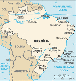
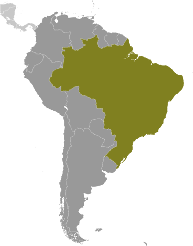
Countries that share a border: Argentina, Bolivia, Colombia, Guyana, Paraguay, Peru, Suriname, Venezuela, French Guiana, Uruguay.
Total distance of all land Boundaries: 16,885 km
Total distance of coastline: 7,491 km
Description of Climate: mostly tropical but temperate in the south.
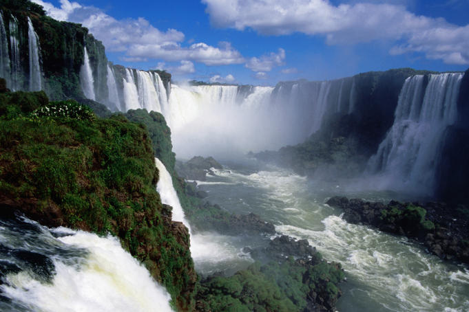
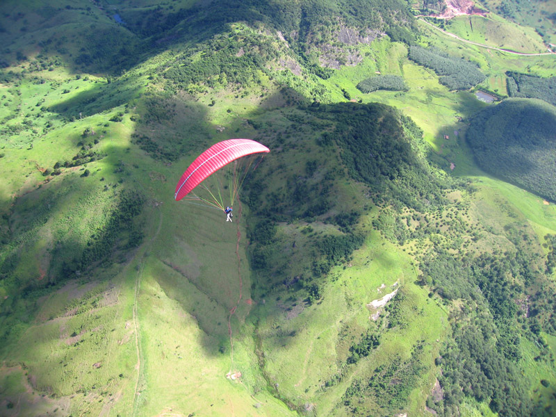
Description of terrain: mostly flat rolling lowlands to the north, some plains hills mountains, and a narrow coastal belt.
point of lowest elevation: Atlantic ocean: 0 meters
Point of highest elevation: Pico da Neblina: 2,994 meters
Land area: 510, sq km
Water area: 55,460 sq km
Size comparitive to US territory: slightly smaller than the United States.
Countries that share a border: Argentina, Bolivia, Colombia, Guyana, Paraguay, Peru, Suriname, Venezuela, French Guiana, Uruguay.
Total distance of all land Boundaries: 16,885 km
Total distance of coastline: 7,491 km
Description of Climate: mostly tropical but temperate in the south.
Description of terrain: mostly flat rolling lowlands to the north, some plains hills mountains, and a narrow coastal belt.
point of lowest elevation: Atlantic ocean: 0 meters
Point of highest elevation: Pico da Neblina: 2,994 meters
|
|
|
